Inishbofin Island - Middlequarter Loop
About
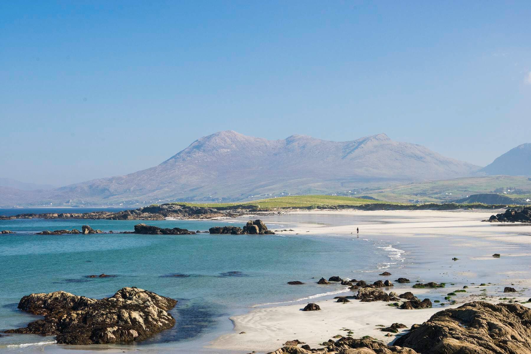
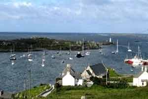
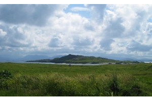
Inishbofin lies 10km off the coast of County Galway. Please refer to 42a - the Westquarter loop for further information about Inishbofin.
A-B. Starting from the mapboard at the top of the pier, turn left and follow the blue (and purple and red) arrows. The red and purple arrows are for other loops. After approx 200m you reach a junction with Pound Road - turn right here and ascend to reach a crossroads. Note that the red loop turns right at the crossroads - you turn left following the blue and purple arrows.
B-C. Follow this road past the school and after nearly 1km you reach a 3-way junction where you turn right. After 100m cross a stile and join a gravel roadway. After approx 200m you reach a bog roadway on your right - note that the purple (Westquarter) loop proceeds straight on here - but you turn right. Enjoy the trek to Middlequarter for 1km before the roadway begins to peter out. Near the end, the loop leaves the roadway and turns sharp right and uphill. The next section takes you onto a ridge marked with stone cairns and eventually a communications mast. From here you have superb views of large sections of the island - including a recently-built airstrip!
C-D. Continuing to follow the blue arrows as the loop descends from the communications mast to two water reservoirs and then takes you around the end of the airstrip. After a mix of roadways and open ground you rejoin an old roadway at a gate and stile. Now back on terra firma, the loop reaches a T-junction where you rejoin the red loop briefly, turn left, and almost immediately turn right to descend to a T-junction where you turn right.
D-A. Now follow the blue red arrows for 150m before turning left and descending to the quay area where you turn right. Follow the road for 500m past the church and back to the pier
Location Information
Address
Middlequarter, Co. Galway, Ireland
Phone
+3539545989