East Munster Way
About
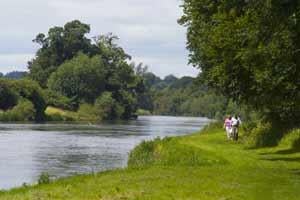
This walk starts in the town of Carrick-on-Suir at the south east extremity of County Tipperary and follows the River Suir upstream.
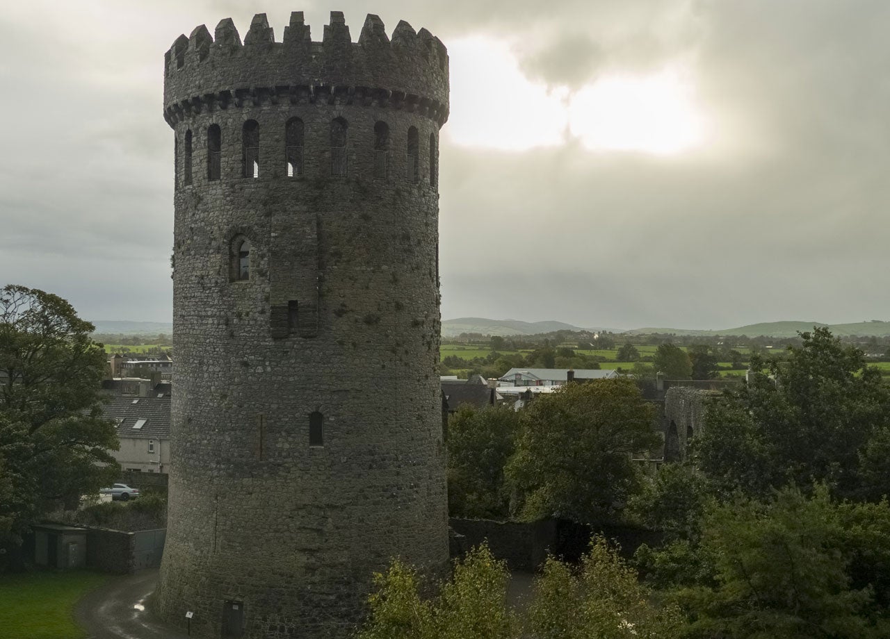
The Suir, held by some to be the second-longest river in Ireland, is majestic and slow-moving at this point, overlooked by old castles and churches, and home to otters and herons.
At the pretty village of Kilsheelan, the route crosses into County Waterford and ascends into the foothills of the Comeragh Mountains. It soon descends again to follow the Suir into the vibrant county town of Clonmel, which has a lot to offer those who linger. Leaving Clonmel the Way crosses a western outlier of the Comeraghs to reach the northern flanks of the Knockmealdown Mountains where it meanders westwards with spectacular views before descending to reach the town of Clogheen.
Terrain consists mainly of forestry tracks, riverside tow paths and quiet tarmac roads: some off-road paths may be a little overgrown. Total aggregate ascent over the route is 1375m, but there are some short, steep climbs.
Section 1 - Carrick on Suir to Kilsheelan
Section 2 - Kilsheelan to Clonmel
Section 3 - Clonmel to Fourmilewater
Section 4 - Fourmilewater to Goatenbridge
Section 5 - Goatenbridge to Clogheen.
Location Information
Address
off, Castle Park, Castle St, Carrickbeg, Carrick-on-Suir, Co. Tipperary, E32 CX59, Ireland